Maps & Images (PDF): History Year 3
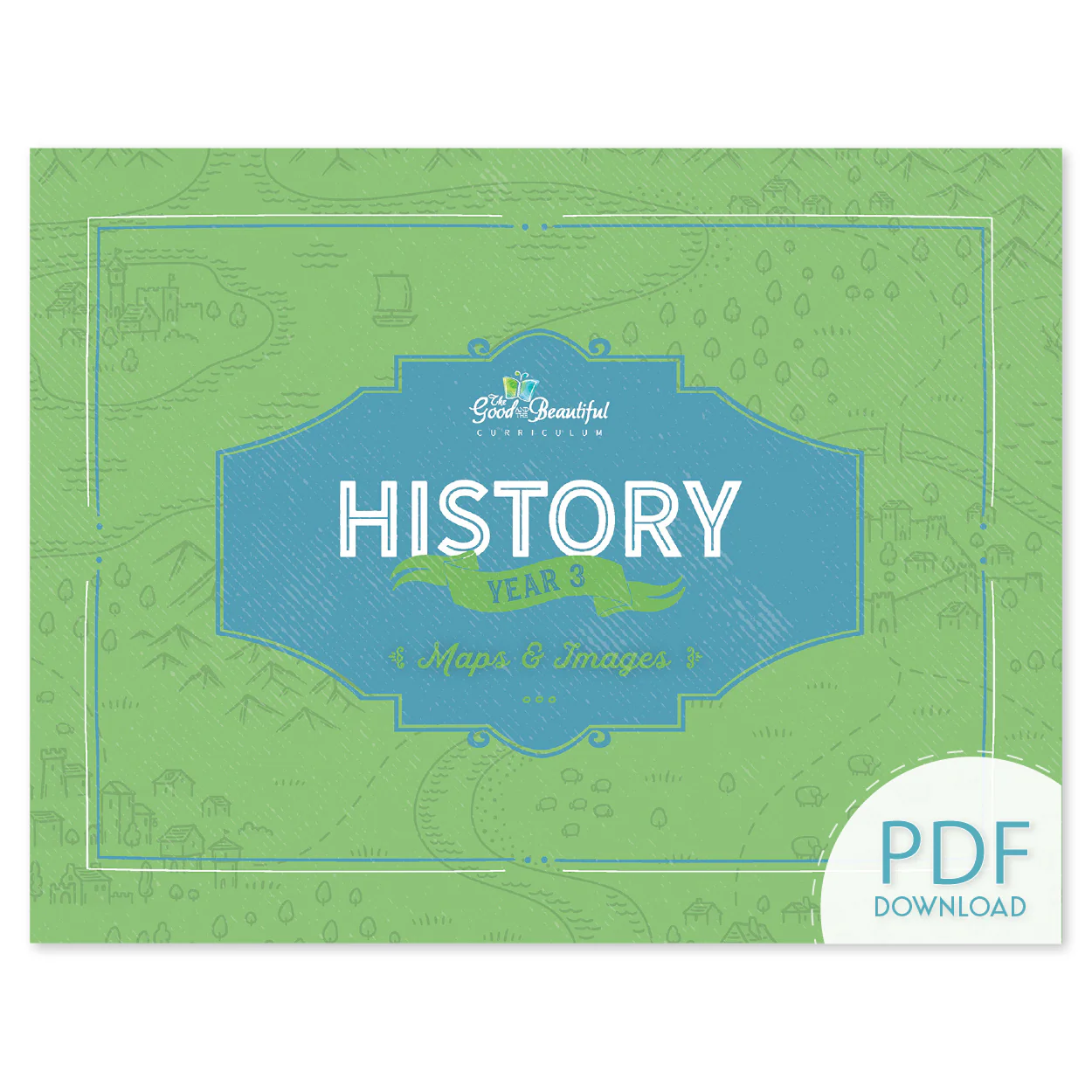
History Year 3: Maps & Images (PDF) is full of illustrated and real-life images of the events, people, and places talked about in the lessons, along with maps of the locations in the world where these events happened. The richly illustrated maps, artwork, and authentic photos bring the lessons to life and provide meaningful context for students. The Maps & Images (PDF) book also includes reference maps and punch-out cards used for matching games and more. A wonderful resource that is necessary to complete the History Year 3 Course, History Year 3: Maps & Images (PDF) provides in one convenient and beautiful book all the maps and photos needed for an enriching year of history study.
- 292 pages, including 14 pages of reference maps
- 79 pages have cards that will need to be cut out in the PDF version
- Full-color illustrations and photos
- 11”x8.5”
History Year 3: Maps & Images (PDF) is only available for purchase individually and not in a digital course set. This non-consumable resource is a necessary component of the History Year 3 Course. Purchase the physical version of the History Year 3: Maps & Images book here or as part of the History Year 3 Course.
Product Information
Product Information
Shipping & Returns
Shipping & Returns
Description
History Year 3: Maps & Images (PDF) is full of illustrated and real-life images of the events, people, and places talked about in the lessons, along with maps of the locations in the world where these events happened. The richly illustrated maps, artwork, and authentic photos bring the lessons to life and provide meaningful context for students. The Maps & Images (PDF) book also includes reference maps and punch-out cards used for matching games and more. A wonderful resource that is necessary to complete the History Year 3 Course, History Year 3: Maps & Images (PDF) provides in one convenient and beautiful book all the maps and photos needed for an enriching year of history study.
- 292 pages, including 14 pages of reference maps
- 79 pages have cards that will need to be cut out in the PDF version
- Full-color illustrations and photos
- 11”x8.5”
History Year 3: Maps & Images (PDF) is only available for purchase individually and not in a digital course set. This non-consumable resource is a necessary component of the History Year 3 Course. Purchase the physical version of the History Year 3: Maps & Images book here or as part of the History Year 3 Course.